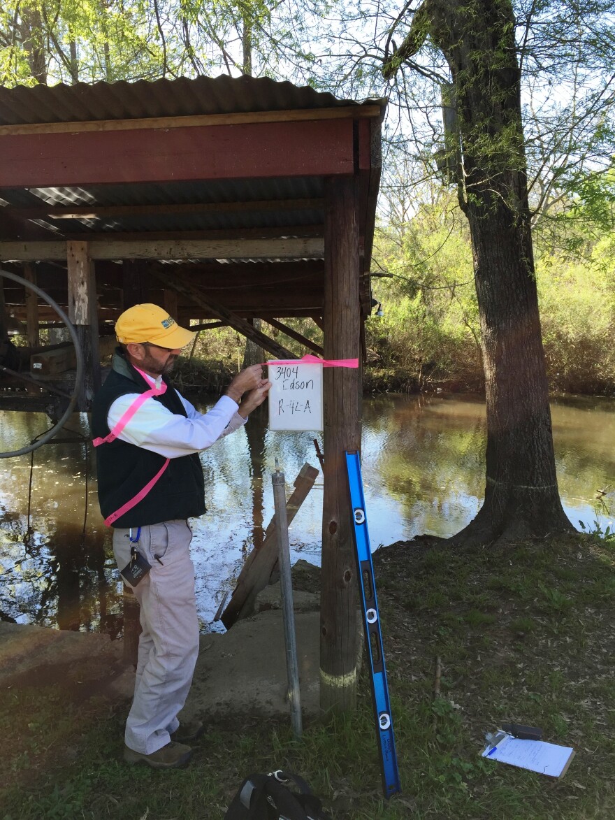
U.S. Geological Survey water scientists who negotiated fierce flood waters in March for the sake of gathering valuable data are now populating a federal database to document the historic flooding that spanned Louisiana.
Ben McGee, USGS supervisory hydrologist based in Ruston, is finalizing data that a dozen field crews collected at more than 200 stream gauges. He’s amazed at the magnitude of this flood. McGee says information from the stream gauges point to a more than 300-year flood event.
“We’ve had records going back to the 1930s and ‘40s that we exceeded with this event -- and not by a small margin. It’s hard to express just how much we exceeded the historical maximums that we’ve recorded at some of these long-term gauging stations,” McGee said.
The final data book on the March floods will be published by the end of September, according to Marie Peppler. She’s federal liaison with the USGS office of surface water who is entering high water marks with detailed information to populate the USGS Flood Information site. Peppler says field crews documented 470 high water marks.
“This is part of a program that helps us collect information about flood waters between our stream gauges. Because while we have a lot of stream gauges, there are never enough. They’re never in every community and we could always use more. But the high water marks help us interpret the information about the flooding in between the stream gauges,” Peppler said.
McGee says at least a dozen USGS stream gauges recorded the highest volume of stream flow measured in those gauges’ existence. On Saline Bayou near Lucky, Louisiana, the recorded flow of 24,300 cubic feet per second was nearly twice the previous record set in 1945. The field teams had difficulty accessing some sites, according to McGee.
“The water was so high in the flood plain, that we actually had to walk through several feet of water for probably up to a mile or more to get to the site. For some of these sites, we’re actually taking a boat and launching it off of the highway and motoring down to these sites to access them,” McGee said, who has been a USGS scientist for 27 years.
For more than 125 years, the USGS has monitored flow in streams and rivers nationwide. The information is used in a variety of ways from water management to road and bridge design to flood insurance mapping and federal assistance.


