SEVERE WEATHER OUTLOOK – Severe weather is expected to breakout in the 4 states area as an upper level cold front is making its way coming from the west heading eastward. Forecasters anticipate things will start to get messy in the afternoon. Monique Sellers is a meteorologist with the National Weather Service in Fort Worth, Texas, she tells us what we could expect.
"We're expecting strong to severe thunderstorms," Sellers explained. "And that's going to bring us all hazards from heavy rain which may spark some flooding issues for some, and then hail, wind and tornadoes are all possible."
Rainshowers could occur throughout the day and there is a possibility for flash-flooding in low lying areas. The National Weather Service says the Red River Radio listening area is at a moderate risk for severe weather which is not common for January. Mario Valverde is the Meteorologist in Charge for the National Weather Service office in Shreveport.

"The last time this happened this happened was in April 13th of last year,"Valverde said. "That's when we had those really bad tornadoes in east Texas."
And the warmer weather of late is going to rapidly change after Friday night’s storms.
Storms are expected to reach East Texas early-to-late evening. As for the Shreveport-Bossier area, the National Weather Service expects the most severe occurrence to happen much later.
"Things have kind of slowed down a little bit so we're going to push it back later on in the evening to 10 to midnight for the Shreveport-Bossier area,"explained Valverde. "And as things slow down it could even fall in to early Saturday morning."
With volatile weather conditions approaching, weather updates will be changing so you’ll want to be able to get accurate information.
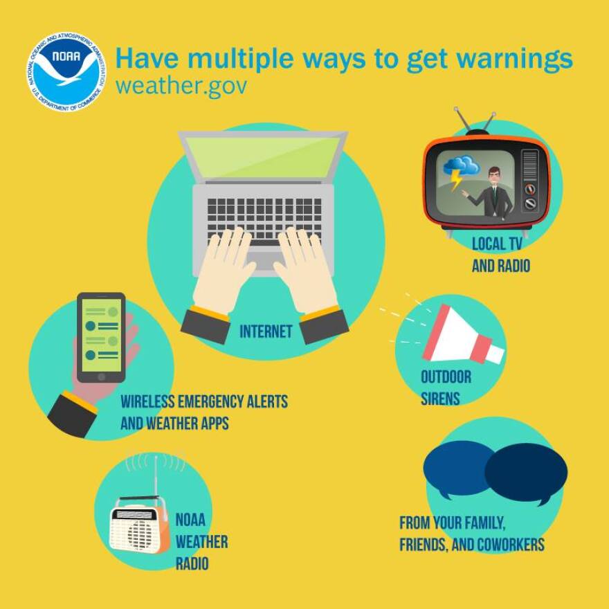
"Get a plan together of what you're going to do if you get a tornado warning issued for your area," Valverde said. "How are you going to get that warning? Whether it's NOAA weather radio on your cellph0ne, or your weather app or your tv or your computer; know how you're going to get that warning and have an action plan when that warning comes for your area."

After the storms roll through, temperatures are expected to drop Saturday, A huge shift in temperature as the nighttime lows will be in the upper 20’s to lower 30’s. So take precautions, secure your pets and make sure they have shelter. Keep a flashlight with fresh batteries in case of power outtages, make sure your cellphones and digital devices are fully charged.
According to a company press release -Employees of Southwestern Electric Power Co. (SWEPCO), are standing ready to respond to these storms, and 150 additional field personnel have been called to the area. The anticipated storm system is capable of producing winds of up to 60 mph. SWEPCO has 150 utility workers to assist with power restoration.
SWEPCO warns that if you come across any any downed utility line, assume it is energized and stay away. Report downed lines immediately to SWEPCO at 1-888-218-3919.


